Cruchley's Plan of London Wrapping Paper
Cruchley's Plan of London Wrapping Paper
Couldn't load pickup availability
Out Of Stock!
We will notify you when this product becomes available.
Share
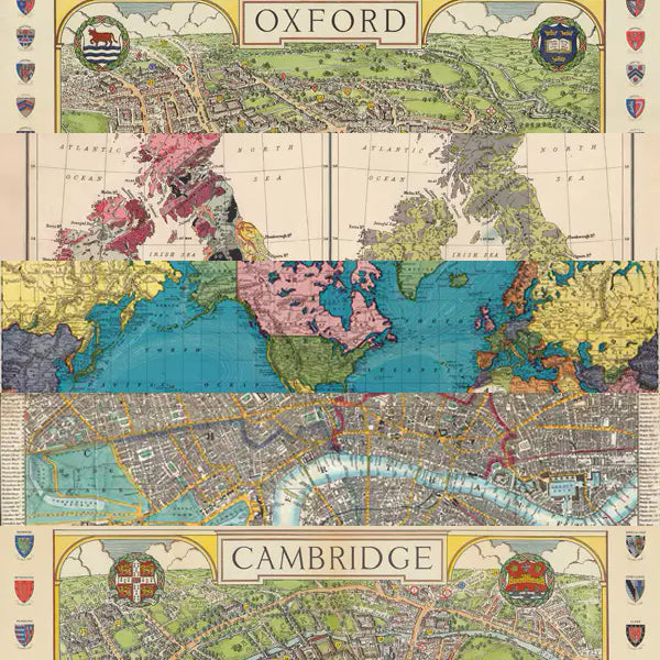
Map of London, extending from Hyde Park in the West to the London Docklands in the East, and covering Regent’s Canal in the North to Walworth in the South. Adapted from Cruchley’s New Plan of London, shewing all the new and intended improvements to the present time (1848), courtesy Geographicus Rare Antique Maps. George Frederick Cruchley (1897–1880) was a London-based book and map seller active in the middle part of the 19th century and was best known for his London maps.
Our wrapping paper is also available in mixed themed packs click here.
Printed with vegetable-based inks on a carbon neutral press using responsibly sourced, acid free paper.
49 cm x 70 cm, 90gsm uncoated cream Italian paper
Single folded sheet
Collections: All Products, Cartography, Design, Earth Sciences, Geography, Science, Wrapping Paper